
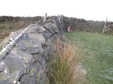
Whaley Moor [Black Hill]
Good walks are even better shared.
Overview
Whaley Moor [Black Hill]
Whaley Moor, often referred to as Black Hill, stands proudly at an elevation of 582 metres, offering an array of walking routes for those keen on exploring the beautiful Peak District. Its classification as a Marilyn signifies a prominence promising the best views for the effort.
Geology
Whaley Moor is a splendid example of Peak District geology, primarily composed of gritstone and shale. The scars left by glacial actions hint at the ancient forces that crafted this moor. It's a testament to the earth's history—perfect for those who enjoy both the beauty and the science behind it.
Routes
One of the most popular accesses is via the Pennine Way, where trekkers will find themselves soaking in heather fields and dramatic uplands. For a more challenging alternative, the Circular Route from Saddleworth offers the thrill of tackling varied terrain interspersed with stunning views and perhaps a few sheep to keep you company.
Summit Features
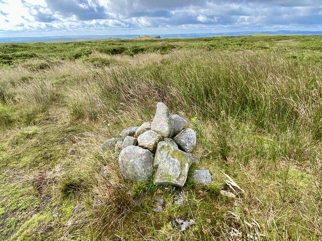
Nestled at the top, you'll find a stone cairn and a trig point ready to pose for photographs! Don’t forget to give a nod to the towering views on offer.
Terrain Type
Expect a mix of boggy patches and rocky outcrops. Comfortable hiking boots are recommended—be ready for a bit of splashing!
Views
The sights from the summit are sure to take your breath away. Look out towards the Pennines and, on a crystal-clear day, catch a glimpse of the Manchester skyline. Spring and autumn are prime times for views that would have painters scrambling for canvas!
Hazards
While Whaley Moor is a joy to hike, do tread carefully on the boggy bits; they can be more slippery than a banana peel on a tiled floor! Changing weather conditions can also obscure visibility, so keep an eye on the sky.
Nearby Summits
- Black Hill: This twin peak offers a similar adventure with slightly varying views.
- Kinder Scout: The highest point in the Peak District and a favourite among walkers.
Access
Parking is available at the Crowden Picnic Site, only a few km from the trailhead. If you're relying on public transport, buses connect you easily from Glossop and Holmfirth. You won’t find parking difficulties here unless you pop by during a bank holiday!
Facilities
Toilets are handy at the picnic site for those needing a quick pitstop, while Glossop nearby features all the cafés you could possibly need to recharge.
History
Etymologically, the name 'Whaley' provides a fascinating link back to Old English, lending itself to theories of geographical descriptors from eras gone by. As part of Saddleworth parish, Whaley Moor has a rich tapestry of industrial history—a captivating backdrop for today’s natural explorers.
So if you fancy a jaunt up to Whaley Moor, bring your sense of adventure, pack those boots, and prepare for both stunning vistas and an interesting history lesson—all in a day’s adventure!
Enjoy the hike!
Explore routes near Whaley Moor [Black Hill]
Public walks starting within 80 km of this hill. Nearby does not mean a route reaches the summit; check its map and access before setting out.
Middlewood Way: Rose Hill to Bollington
View route
Mill Hill Liberator Wreckage via Harry Hut
View route
Edale and Castleton circuit
View route
Mam Tor Circular Walk via Blue John Cavern
View route
Route planning notes
These notes describe possible approaches, not verified navigable routes or permission to cross land. Check current paths, local access rules and conditions before setting out.
The Pennine Way Access
This route follows the famous Pennine Way, leading you through heather-clad moors and offering stunning views.
Circular Route from Saddleworth
A scenic loop starting from Saddleworth that combines moorland and woodland paths.
Make a day of it, together
Find someone to share the walk with, or organise a day out along a route you like.
Photo Gallery
View all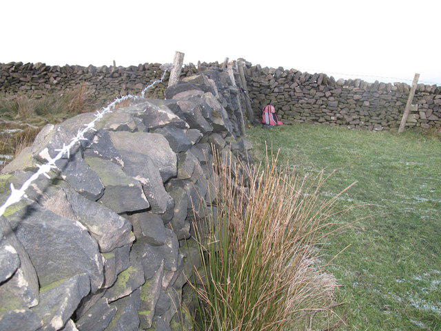 Photo could not load
SJ9982 : Whaley Moor
Rude Health
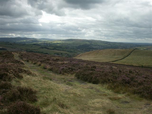 Photo could not load
SJ9882 : Southwest from Lantern Pike
Katy Walters
Hill facts and local notes
Classifications
Elevation
411m
1,348 ft
Prominence
105m
Coordinates
53.3361, -2.0166
SJ989821
OS Map
109
Explorer: OL1W
At the Summit
The summit features a stone cairn along with a weathered trig point, perfect for the obligatory summit selfie.
Terrain & Geology
Whaley Moor is predominantly formed from gritstone and shale, with a landscape that has been shaped by glacial activities, offering a rugged terrain and intriguing geological features.
Views & Scenery
From the summit, hikers can enjoy panoramic views of the surrounding Peak District, the distant Pennines, and even Manchester's skyline on a clear day.
History & Heritage
Name Origin
The name 'Whaley' possibly derives from the Old English 'hwael', meaning whale, likely alluding to the area's topographical features.
Historical Significance
Whaley Moor is part of the historic Saddleworth parish and showcases the rich industrial heritage of the area, being a mere stone's throw from paths once used by traders.
Getting There & Facilities
Check current local access restrictions, parking rules and transport timetables before travelling. These notes do not confirm public access to the summit.
Parking
There is parking available at the Crowden Picnic Site, approximately 4 km from the trailhead.
Public Transport
Regular buses service the area from nearby towns such as Glossop and Holmfirth.
Nearby Facilities
Public toilets can be found at the Crowden Picnic Site, but if you fancy a cuppa, head to one of Glossop's many cafés.
Safety Information
Known Hazards
- Beware of boggy sections where footwear may be tested to its limits. Navigation can be tricky in low visibility due to weather changes.
General Safety Tips
- Check weather conditions before setting out
- Carry appropriate clothing and equipment
- Let someone know your planned route
- Take a map, compass, and GPS device
- Carry emergency supplies: food, water, first aid kit, torch
Hills
Some common questions about the hills answered
Are there group walks up Whaley Moor [Black Hill]?
Many walkers use Walkmates to join or organise walks with others. You can check for group walks around Whaley Moor [Black Hill] through the maps
Are there other walkers around Whaley Moor [Black Hill]?
Activity varies by location and time, but Walkmates lets you see whether others have shared walks or shown interest in this area. Find other people through the walking friends search walking friends for Whaley Moor [Black Hill] search or of course create your own walk for Whaley Moor [Black Hill]
Can I organise a walk to Whaley Moor [Black Hill]?
Yes. If there aren’t any walks listed already, you can create a walk and make it available for others to join.
If you're signed up to Walkmates, you can create a walk to Whaley Moor [Black Hill].
How do I find a walk up this hill?
There are often multiple ways to walk this hill, depending on experience and route preference. Walkmates helps you explore walks and routes that others have shared.
Can I suggest a new route up Whaley Moor [Black Hill]?
Yes. You can suggest or create routes to share with others. Walkmates focuses on the social side of walking, so routes are used to help people organise walks and explore areas together, rather than as detailed navigation tools or route libraries.
Other uses really appreciate knowledgeable walkers sharing their routes. Share your favourite route to Whaley Moor [Black Hill] here
The is an error or something incorrect about this hill. How do I let you know?
We always strive to keep the information on Walkmates as accurate as possible. If you find an error, please let us know through the contact form and we'll aim to correct it as quickly as possible
Community Discussion
Comments
Location
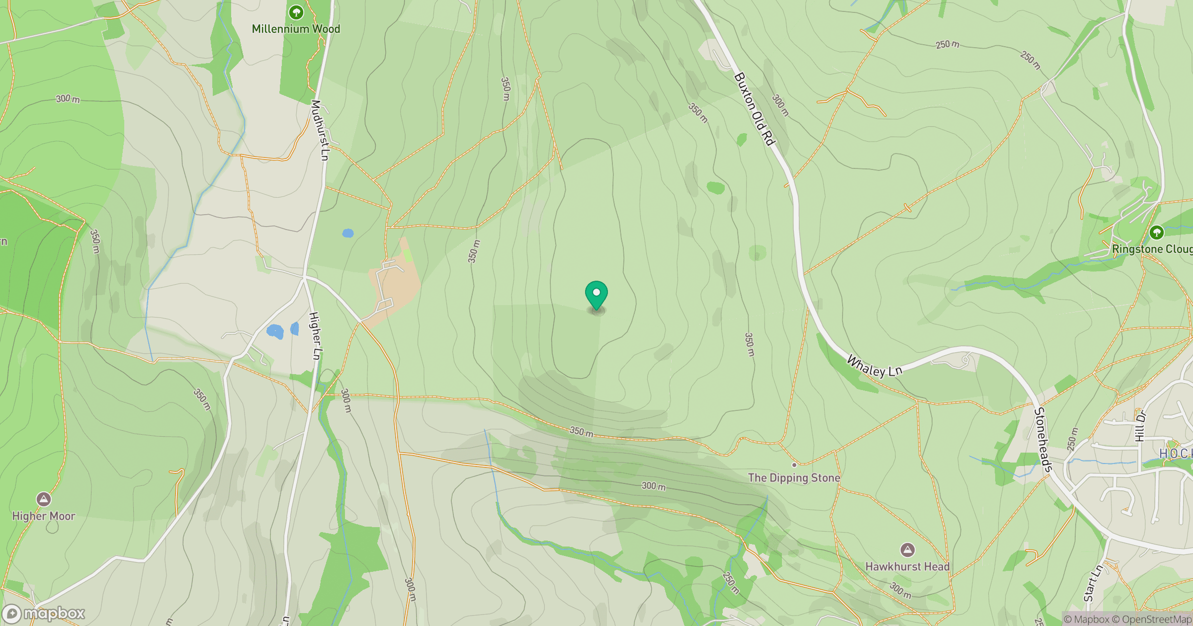
Grid reference: SJ989821
View on OpenStreetMapOpens a map in a new tab, centred on the hill.
Hills within 30 km
Straight-line distance, not a walking route or confirmation of access.

No comments yet. Be the first.